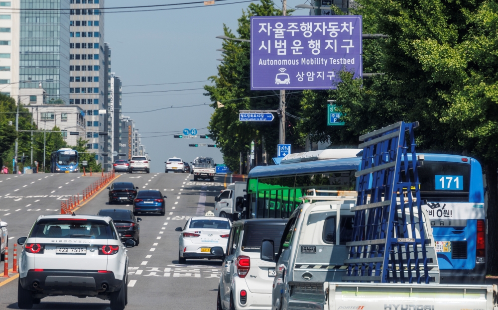
Vehicles on June 13 travel on a road with a sign on the pilot operation of self-driving cars in the Sangam-dong neighborhood of Seoul's Mapo-gu District. (Yonhap News)
By Kim Hyelin
The Ministry of Land, Infrastructure and Transport will create a map reflecting the difficulty of self-driving cars to navigate major roads nationwide to stably spread autonomous vehicle technology.
The ministry on July 3 said that within this year, it will release a map for such vehicles on major road networks such as expressways, national highways and provincial roads.
It completed assessments of national highway sections last year and is doing the same on provincial roads this year. By year's end, Korea Expressway Corp. will inspect expressways except privately owned sections.
The map categorizes road sections affecting autonomous driving like road structure, traffic flow and intersection types, and provides information on the difficulty faced by the technology through simulated driving.
The simulation phase not only sets regular driving situations but also other circumstances such as nighttime conditions, fog, wet roads and front-end accidents to check for potential safety problems in self-driving.
Park Jin-ho, head of the ministry's Automated Driving Policy Division, said, "This time, we will prepare objective data on road conditions related to self-driving technology for use in accelerating the commercialization of autonomous vehicles."
kimhyelin@korea.kr